Fruit trees, grown as if the forest had planted them.
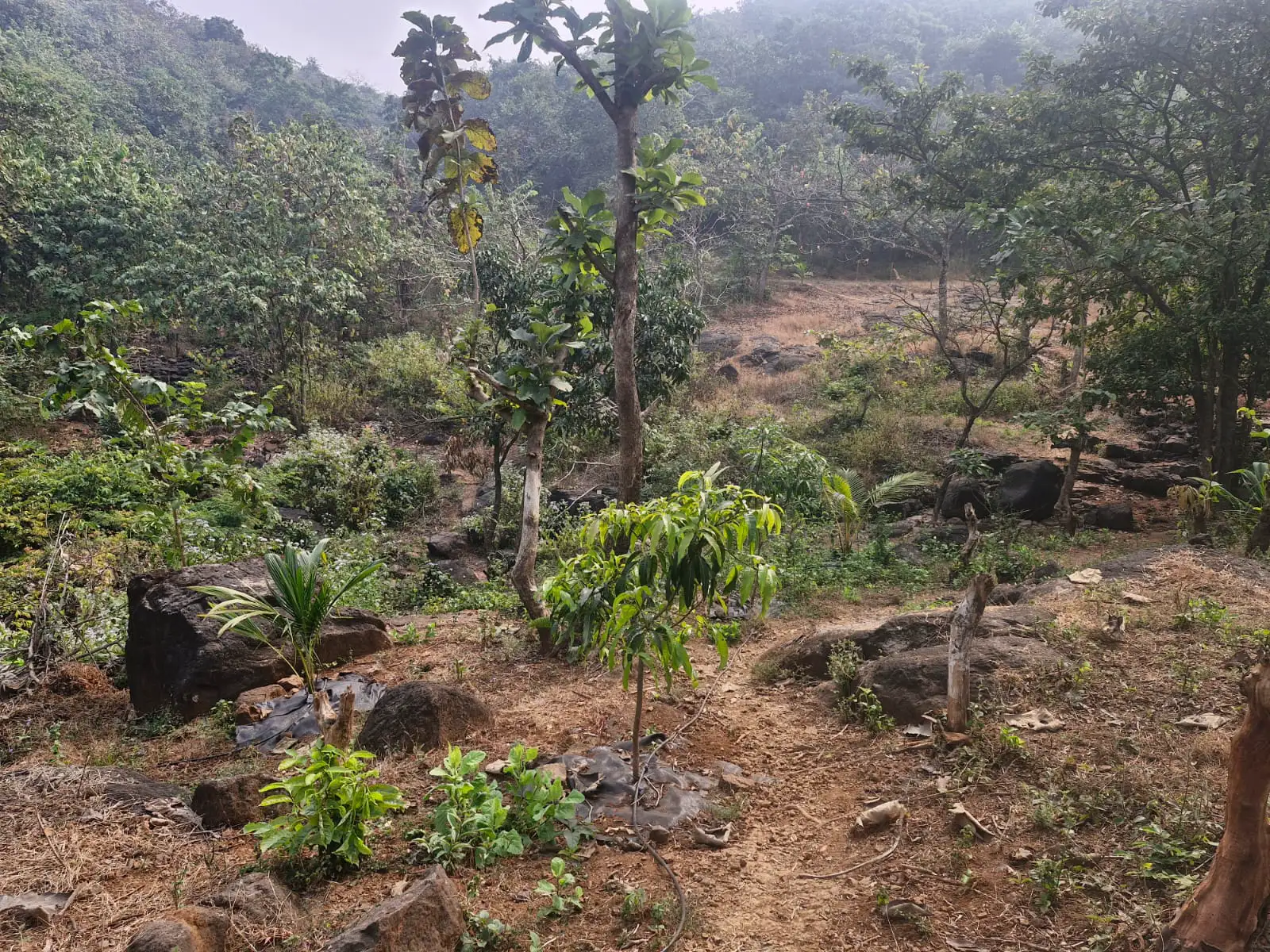
PraSud Food Forest is a farm in a forest, spread over 10,000 square metres on the slopes of the Roha hills near Warathi village. Mango, jackfruit, breadfruit, cocoa, black pepper and many more grow here organically, and two mountain streams run through it.
Warathi, Roha hills, RaigadWalk-in visitors welcome
What grows here
The food forest was created to grow food-producing trees as a sustainable, productive forest: a wide variety of fruit trees, grown organically, as if in a natural forest setting.
A food forest grows food in layers, the way a natural forest is built: tall trees, smaller trees, shrubs, climbers and plants on the ground.
Told apart by the leaf
-
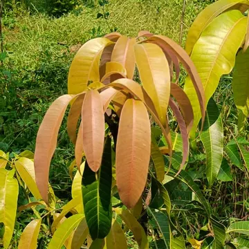 MangoMangifera indica
-
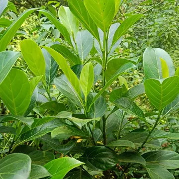 JackfruitArtocarpus heterophyllus
-
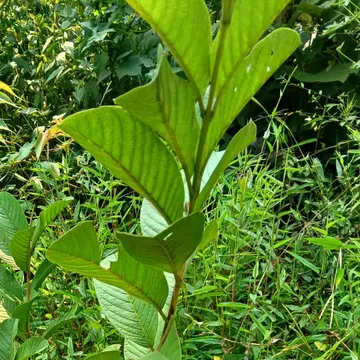 GuavaPsidium guajava
-
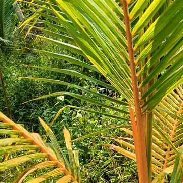 CoconutCocos nucifera
-
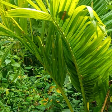 ArecanutAreca catechu
-
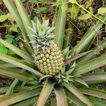 PineappleAnanas comosus
The names on the list
- Mango Mangifera indica
- Jackfruit Artocarpus heterophyllus
- Breadfruit Artocarpus altilis
- Mangosteen Garcinia mangostana
- Jamun Syzygium cumini
- Guava Psidium guajava
- Avocado Persea americana
- Sugar apple Annona squamosa
- Pomegranate Punica granatum
- Amla Phyllanthus emblica
- Bael Aegle marmelos
- Cocoa Theobroma cacao
- Moringa Moringa oleifera
- Lemon
- Pomelo Citrus maxima
- Coconut Cocos nucifera
- Arecanut Areca catechu
- Black pepper Piper nigrum
- Banana Musa
- Blueberry
- Blackberry
- Giant bamboo
And many more.
Open the planting registerHow a young tree is kept
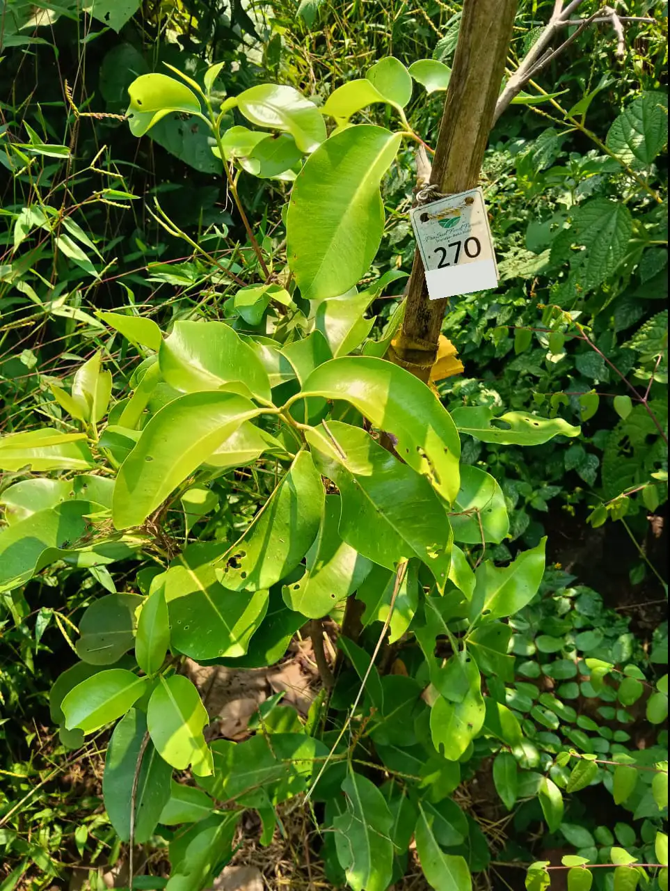
Almost every photograph of a young tree here shows the same few things around it.
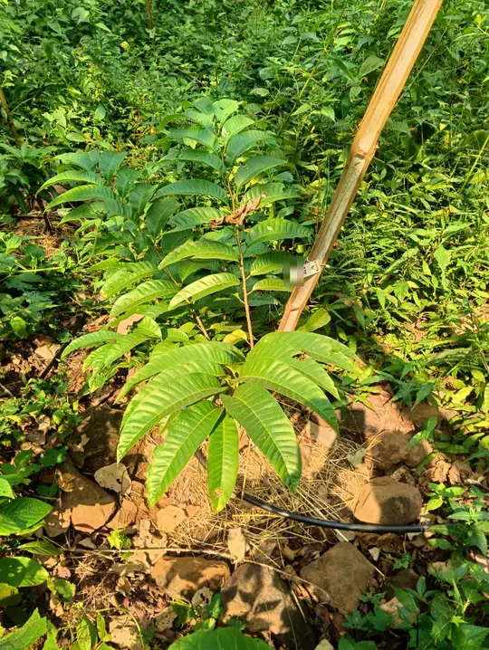
A numbered tag
A white tag with the name of the farm and a number. This tree is number 376.
A bamboo stake
The young stem is tied to a stake while it finds its feet.
A ring of straw
A layer of straw or other organic mulch keeps the soil moist and holds back weeds.
A drip line
A drip line is a thin pipe that lets water out drop by drop, close to the roots of each plant.
Stones
Stones edge the basin around the tree, on red soil.
Two streams and a rock dam
Two mountain streams run through the forest. A rock dam holds back the monsoon rain so that it soaks into the ground and recharges the groundwater, instead of running down the Kundalika river to the Arabian Sea.
When the dam spills over, it becomes the seasonal PraSud Waterfalls.
The waterfall is seasonal
It runs in the monsoon, when the dam spills over. For the rest of the year, come for the trees.
- A great deal of rain, all at onceRoha gets roughly 3,500 mm of rain a year, almost all of it between June and September.
- Most of it runs offOn the hilly Konkan coast most monsoon rain runs straight off the slopes; only about 5 to 10 percent may soak down to the water table.
- How small check dams helpA small dam of loose rock across a stream or gully slows the water down, so silt settles and more of the water soaks into the ground.
- Where the rest goesThe Kundalika river flows west through Roha and meets the Arabian Sea at Revdanda.
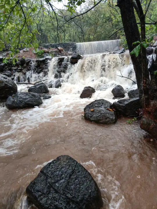
Monsoon water tumbling over the rocks below the dam. 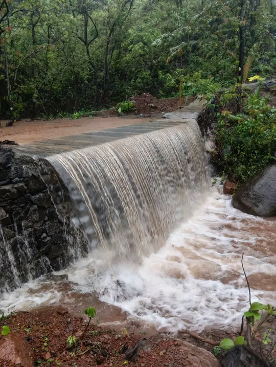
Rainwater spilling over the crest of the rock dam. 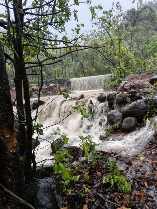
The falls in full monsoon flow, seen through the trees.
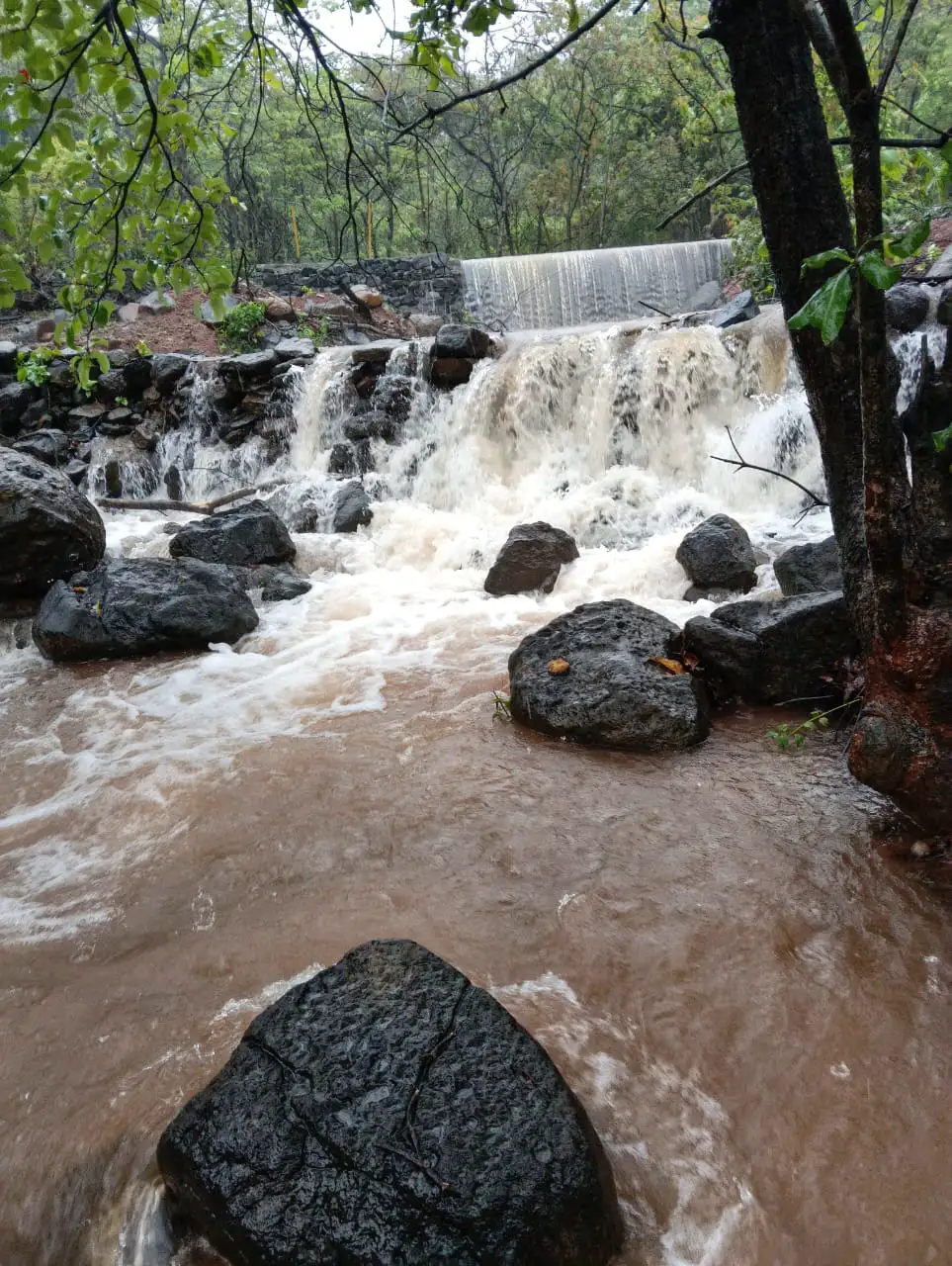
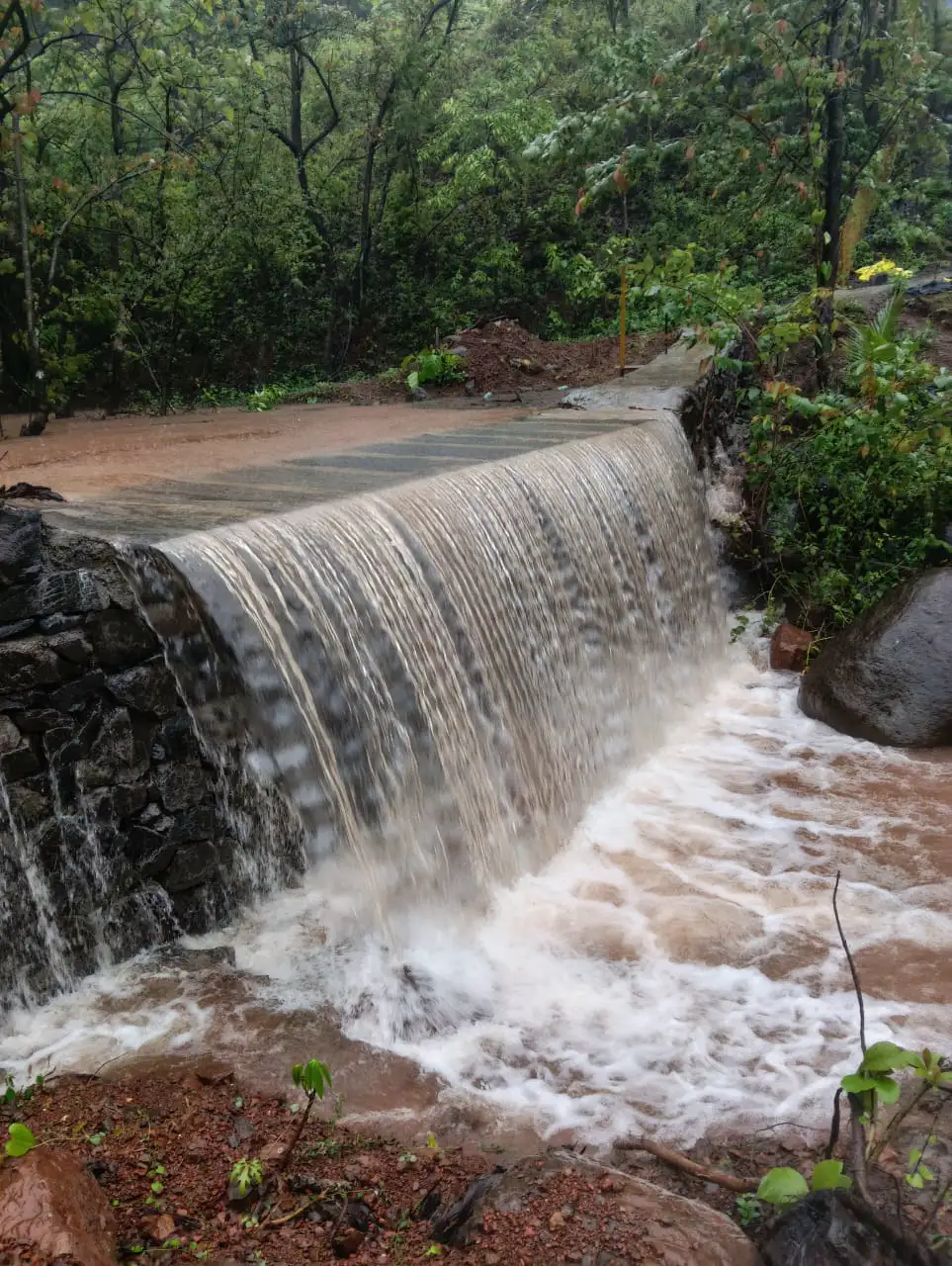
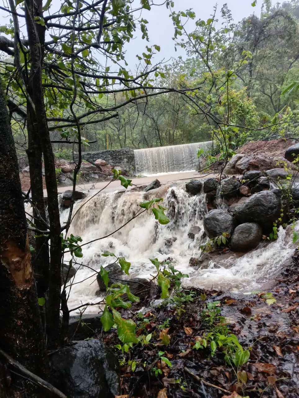
Three photographs. Swipe sideways to see them all.
Come and walk through it
- Where
- Near Warathi village, on the slopes of the Roha hills, in Roha taluka, Raigad district, Maharashtra 402109.
- Visitors
- Walk-in visitors are welcome.
- Size
- The forest is spread over 10,000 square metres.
- Waterfall
- Seasonal. It runs in the monsoon.
- Nearest town
- Roha is the nearest town and railway station. By road, Roha is about 100 to 120 km from Mumbai, depending on the route.
- On the map
- Listed on Google Maps as PraSud Waterfalls.
What visitors wrote
Rated 5.0 from 5 reviews on Google Maps, as checked in November 2026.
Shrikant Mohite, on Google MapsA true hidden gem! Cascading water, vibrant greenery and relaxing sound of birds. Perfect spot for nature lovers and photography enthusiasts
Sulochana Kale, on Google MapsIt's really very nice and beautiful
Michael, on Google MapsReally beautiful and Very Refreshing